Why «Perrucchetti»
The square is named after Giuseppe Domenico Perrucchetti (Cassano d’Adda 1839 – Cuorgnè 1916), Army general and senator of the Kingdom from 1912. In 1872 he published a proposal for mountain troops to defend the Alpine borders.
Now · Santa Barbara and Piazza d’Armi
About a kilometre south of the crossroads, along via delle Forze Armate, stand the Santa Barbara barracks on piazzale Perrucchetti and, behind them, the Piazza d’Armi: over 400,000 square metres of disused military land. Here the story of the Horse Artillery and, below, the plan for the park and the homes.
From the satellite
Before the barracks
Before the barracks the meadow is an airfield: on 17 August 1913 Enrico Forlanini’s airship F.2 «Città di Milano» takes off; in 1917 the airfield is named after Remo La Valle. The history of flight is in the chapter Flight, in Baggio.
Yesterday
The barracks were designed by the Military Engineers and built around 1930. They opened in the early 1930s, as the seat of the Horse Artillery Regiment, the «Voloire»; from 1934 to 1964 they were shared with the 27th Heavy Field Artillery Regiment «Marche».
The complex is in a sober eclectic style: towards the city the command and staff buildings around a large courtyard, on the wings the garages and workshops, then the stables with pantile roofs and the covered riding school. It is State property and protected by the Superintendency.
On 8 September 2016 the Horse Artillery Regiment left Milan for Vercelli. The 1st Signals Regiment and the base of Operation Strade Sicure remain in the barracks.
The square is named after Giuseppe Domenico Perrucchetti (Cassano d’Adda 1839 – Cuorgnè 1916), Army general and senator of the Kingdom from 1912. In 1872 he published a proposal for mountain troops to defend the Alpine borders.
Towards the street the command buildings and quarters; inside, garages and workshops with large windows, stables still in use with pantile roofs and wooden doors, two covered riding halls with iron structures. The complex belongs to the State and is protected by the Superintendency.
A military riding school is still active in the barracks, where riding-therapy courses are also held.
Photographs
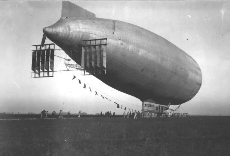
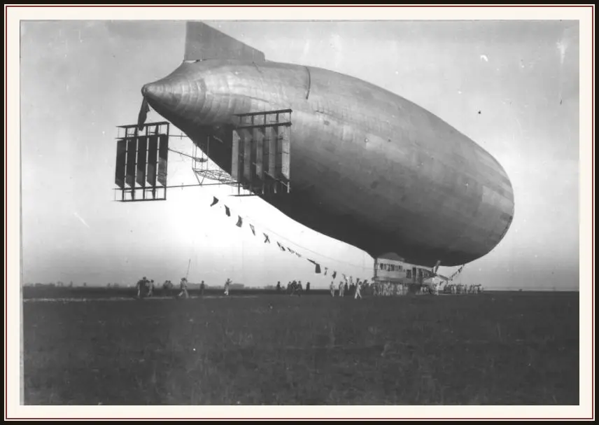
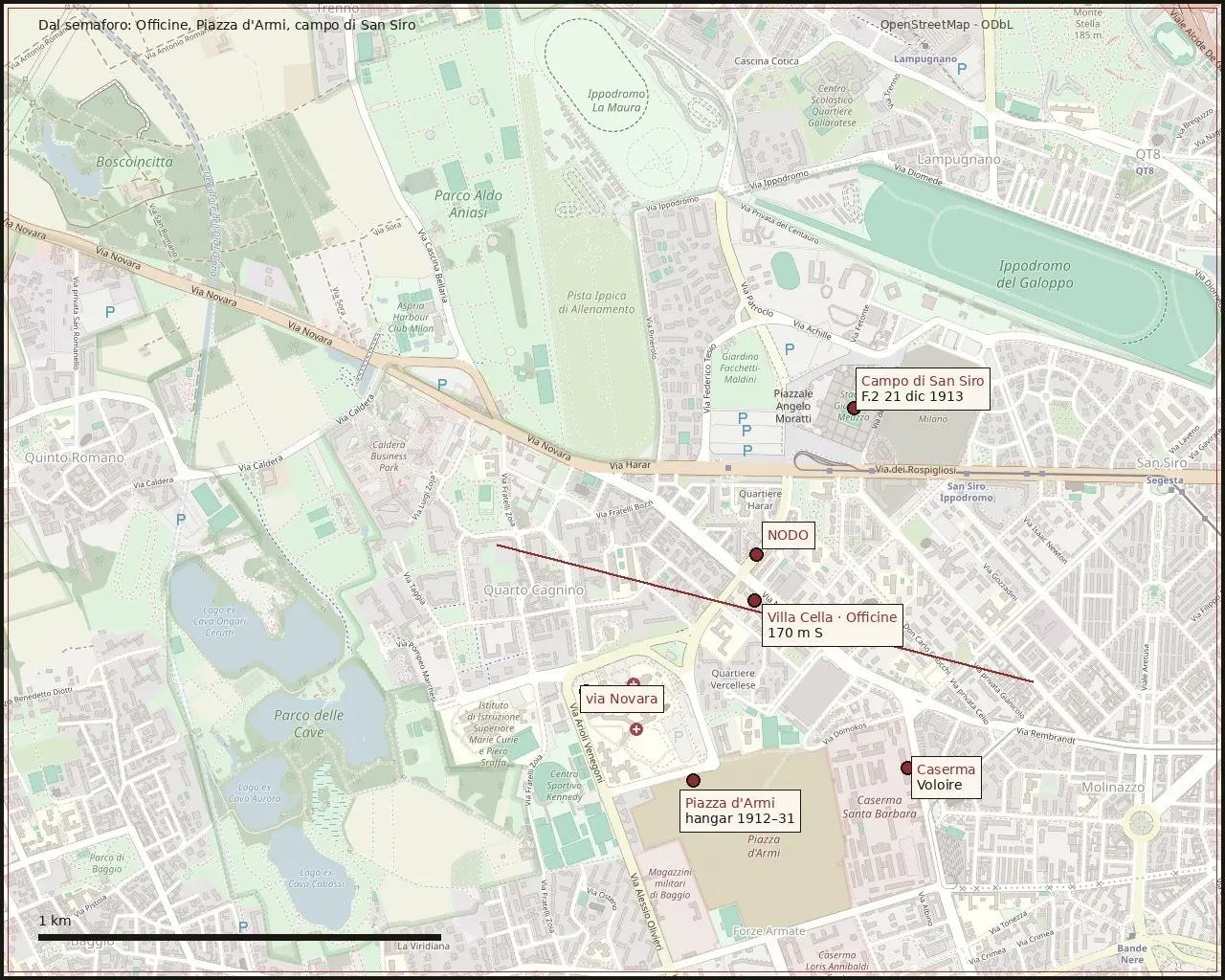
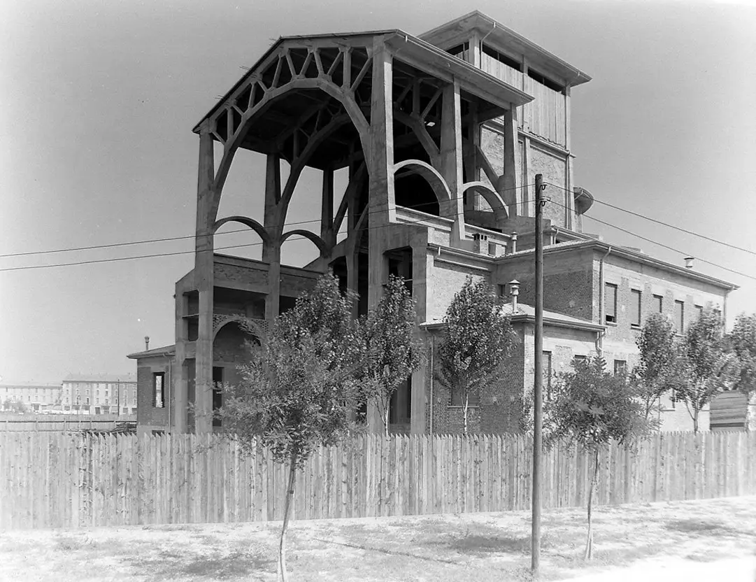
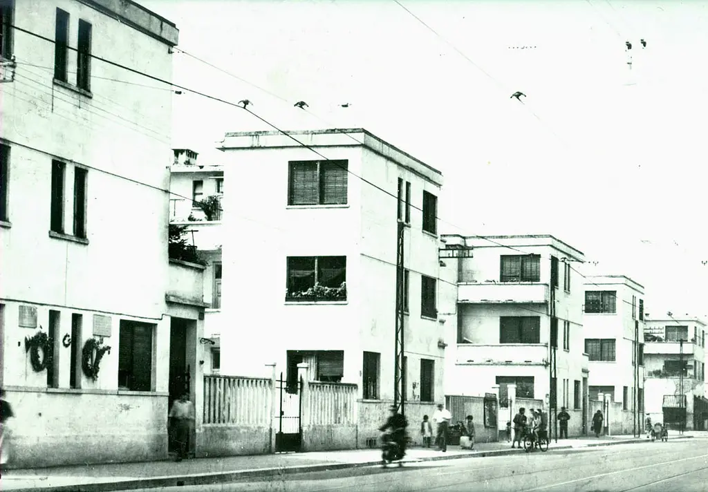
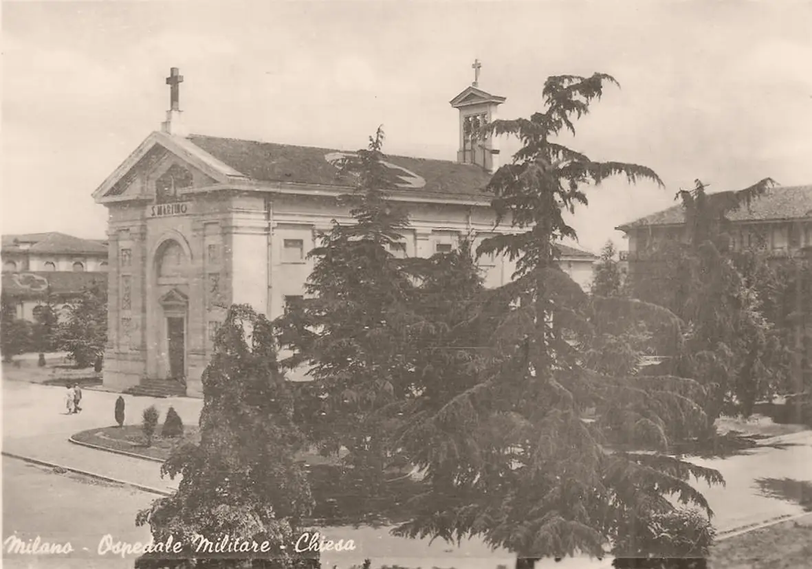
All records in the photo collection.
Caserme Verdi
On 10 July 2019, at Palazzo Cusani, the General Staff presented in Milan the «Caserme Verdi» project: 26 barracks in Italy, one and a half billion euros over twenty years, more efficient bases open to the neighbourhood. In Milan it includes Santa Barbara and the Annibaldi barracks on via Saint Bon, seat of the Baggio Military Hospital. The plan provides sports facilities, nurseries and leisure spaces, also for those living around via delle Forze Armate. The barracks remain military.
Tomorrow
In 2016 the military land behind the barracks passed from the State Property Agency to Invimit SGR, the Ministry of Economy’s company. On 23 December 2025 the City Executive approved the memorandum of understanding between the City and Invimit for the «Grande Funzione Urbana Piazza d’Armi».
The memorandum starts the process. The next step indicated by the City and Invimit is the planning agreement; the project must then go through the approval process. Updates come in the press review.
Diagram
The figures of the memorandum, the same as in the list above, in three bars. Each bar is divided in proportion.
About 424,000 m² in all: 388,000 of the fund managed by Invimit (black), about 36,000 of the City (yellow).
Inside the park, to the north-west, the shrike wood: about 1.7 hectares under protection.
About 1,700 homes, mainly on the site of the former Baggio Warehouses.
Chart
Invimit’s figures, reported by Il Giorno and Mi-Tomorrow. The PGT allows 144,000 m² of buildable floor area; about 122,000 are built on the site, the other 22,000 go to other parts of the city.
The bars are in proportion to one another. It is a plan: the figures may change during the approval process.
Diagram
The Piazza d’Armi in five steps, from the airfield to the 2025 memorandum.
Video
The Giornale Luce of June 1932 films the centenary of the Horse Artillery Regiment in the new Baggio barracks. Beside it, the meadow between the military warehouses and the barracks, returned to wild nature.
From the photo collection
All records in the photo collection.
Where it continues
Sources for this page
Dates and figures from Lombardia Beni Culturali, the General Catalogue of Cultural Heritage, Wikipedia, Comune di Milano, Invimit and the publications indicated.
What this page rests on
Two independent sources
Dates, measurements and names go through at least two sources that do not copy each other. Where it exists, we go to the original: the deed, the archive, the body that owns it. What appears in only one place waits.
One version only
If two sources disagree, the original document prevails. If even that is not enough, only the part they agree on is written: the year, for example, instead of the day.
Updated every day
The press review and calendar are updated every day. Everything else changes when a new document turns up, and then it changes everywhere at once.
From the community
Many memories, family photographs and tips come from people who live here, writing to the Facebook page. They are published only if the sender agrees. How to take part: Community.
Everything traceable
Sources are listed above and on the page Sources, with archive, shelfmark and terms of use.
No interpretation passed off as fact
An approximate figure stays approximate, a project stays a project until construction starts, and whatever does not add up stays out. The criteria are in Method.