The archive
Frequently asked questions about the San Siro area
The questions asked most often about the crossroads of via Novara and via San Giusto, the stadium and the area. Each answer is short and leads to the page where the subject is told in full.
The area in six dates
From the crossroads
From the crossroads: 20 questions
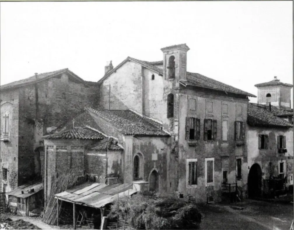
Where is the crossroads of via Novara and via San Giusto?
In the west of Milan, in Municipio 7, at 45°28′22″ N · 9°07′08″ E. Via Novara runs east–west, via San Giusto north–south. The stadium is six hundred metres to the north, San Carlo hospital to the south.
The crossroads →Why is the area called San Siro?
From the church of San Siro alla Vepra, at via Masaccio 20, first recorded in 885. The name comes from the church and the village, not from the stadium.
Places and traditions →Why is via Novara so wide?
Because it is the old road to Novara and Vercelli, today state road 11 Padana Superiore. From the crossroads it continues west, past Trenno and the farmhouses, to the boundary with Settimo Milanese.
The axis →What is the Harar neighbourhood?
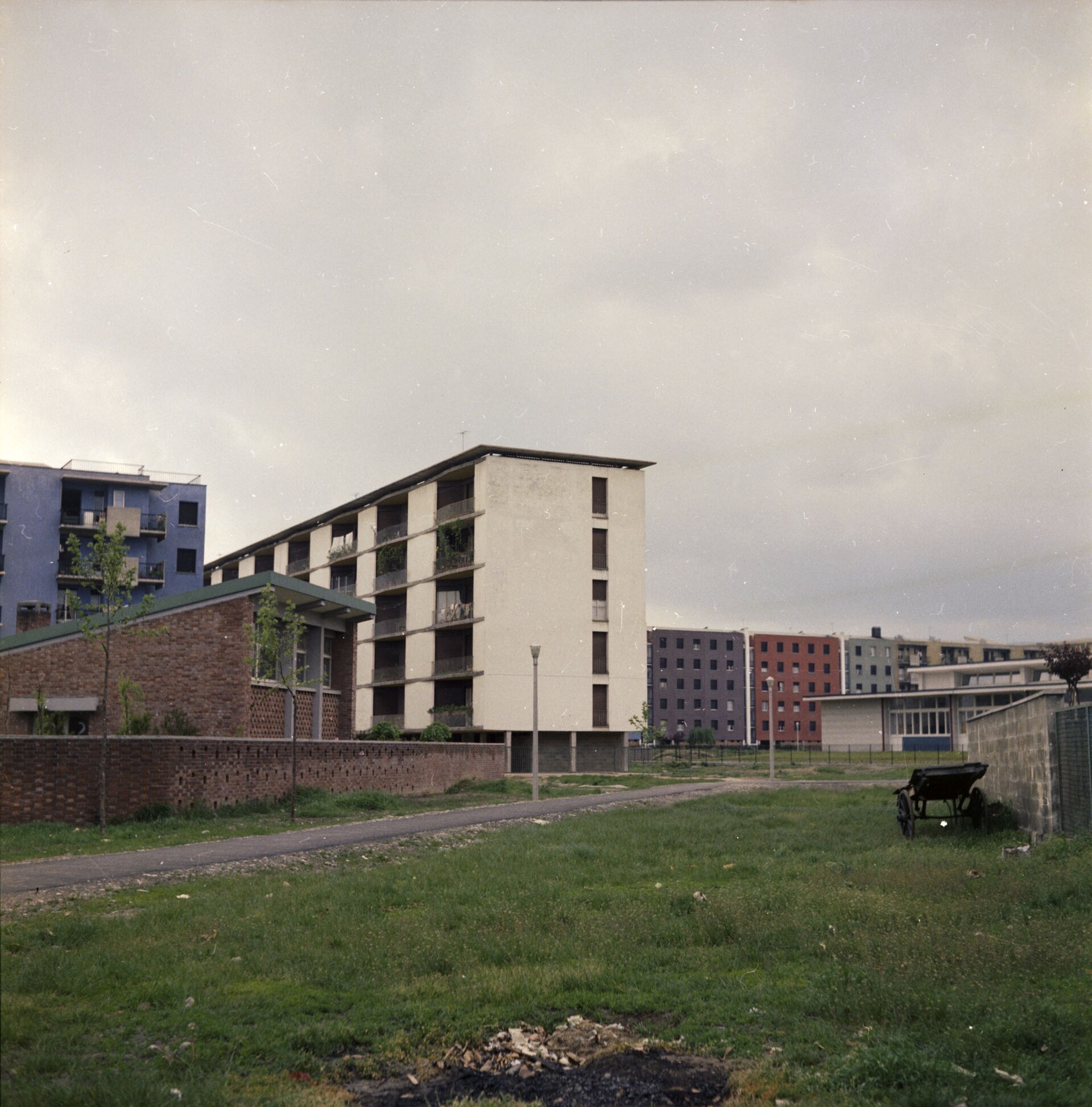
The INA-Casa neighbourhood north-east of the crossroads, built between 1951 and 1955 to a plan by Luigi Figini, Gino Pollini and Gio Ponti. The long blocks are by Figini and Pollini.
The crossroads →How do you get to the stadium by public transport?
On the lilac M5 to San Siro Stadio, the terminus in piazzale Axum, or to Segesta. Tram 16 reaches piazzale Axum. From the M1 change at Lotto for the M5; from Lampugnano there is also the shuttle.
Transport →What parks are there nearby?
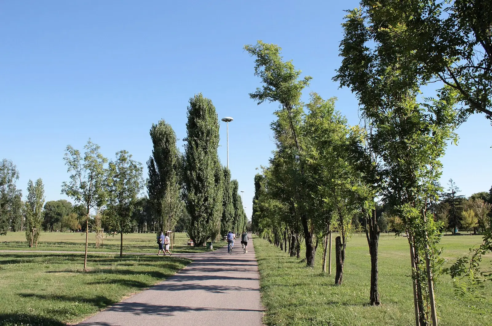
Four large green areas: Parco di Trenno, opened in 1971; Monte Stella, beyond QT8; Boscoincittà, created in 1974 along via Novara; the Parco delle Cave, on the old gravel quarries towards Quinto Romano.
Green space →What is Monte Stella?
An artificial hill made from the rubble of the bombing and of the Bastions. Piero Bottoni designed it from 1947, together with QT8, and it bears the name of his wife, Stella.
Green space →Where is Leonardo’s Horse?
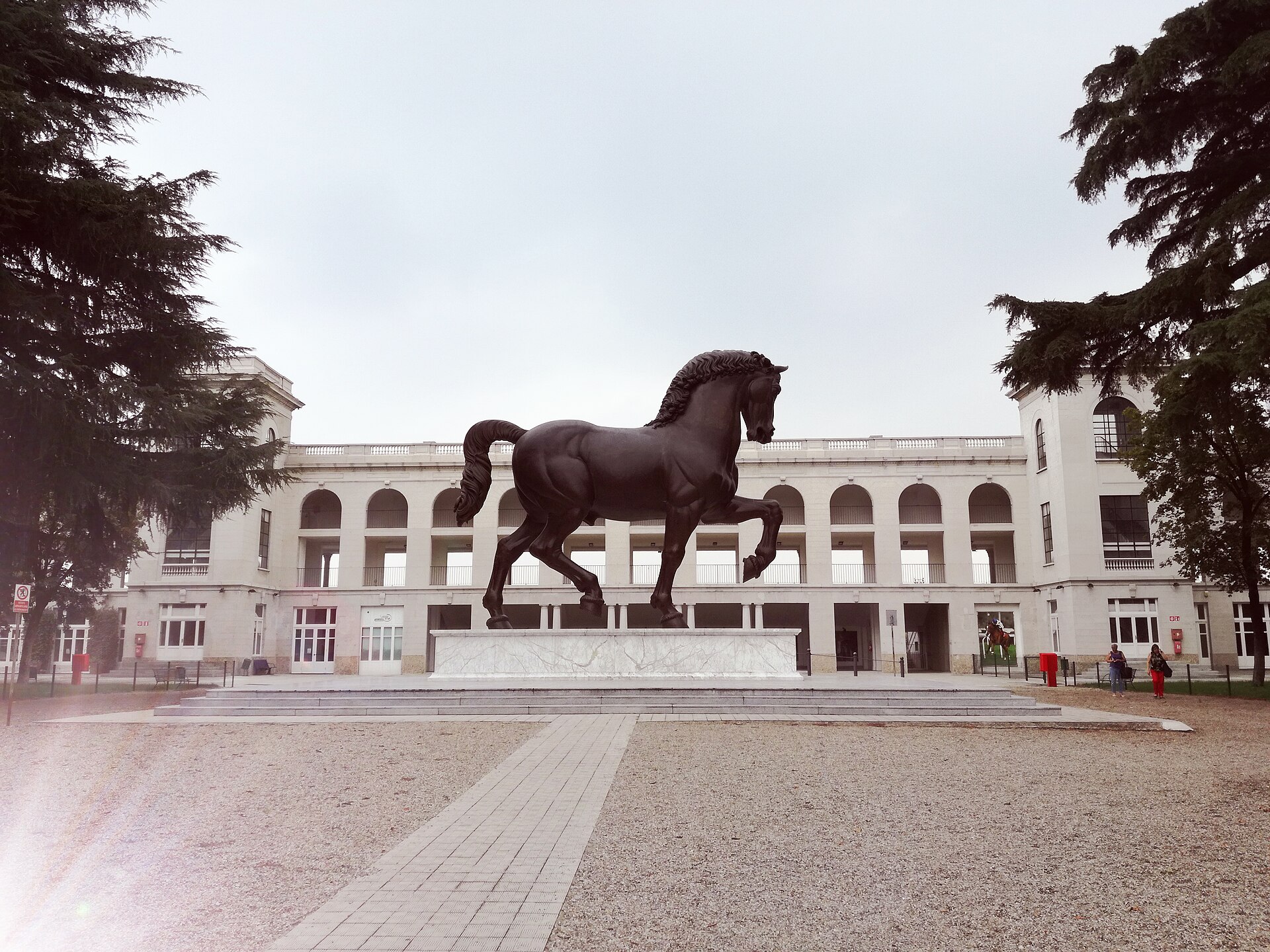
At the racecourse entrance, piazzale dello Sport 6, since 10 September 1999. It is a bronze by Nina Akamu, made from Leonardo’s drawings for the monument to Francesco Sforza.
Places and traditions →When is the Sagra di Baggio held?
Every year, in the third week of October, for three days. It has been held since 1628, the year Sant’Apollinare, today the Chiesa Vecchia, became a parish, and it closes on Sunday in piazza Anita Garibaldi.
Sagra di Baggio →What is on the four corners of the crossroads?
To the north-east the long blocks of the Harar neighbourhood, to the south the pavilions of San Carlo hospital, to the north-west the green of the cutting, to the west via Novara continuing towards Trenno, the farmhouses and the parks.
The crossroads →How far is the stadium from the crossroads?
Six hundred metres to the north. You go up via San Giusto to piazza Axum and reach the stadium entrance.
One hundred years →What was the Gamba de Legn?
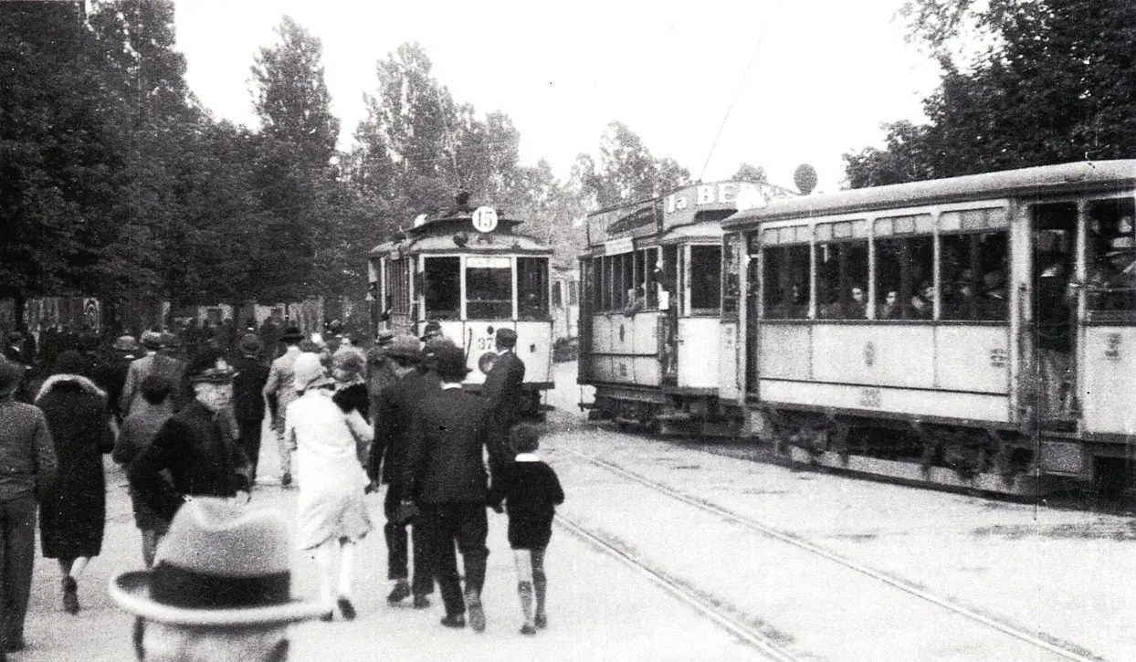
The Milan–Magenta steam tram that ran along the road to Novara. It ran from 2 August 1879 to its last trip on 31 August 1957.
Transport →What is QT8?
The experimental neighbourhood born with the 8th Triennale of 1947, devised by Piero Bottoni, north-east of the stadium. Monte Stella stands beside it.
Geography →What is Parco di Trenno?
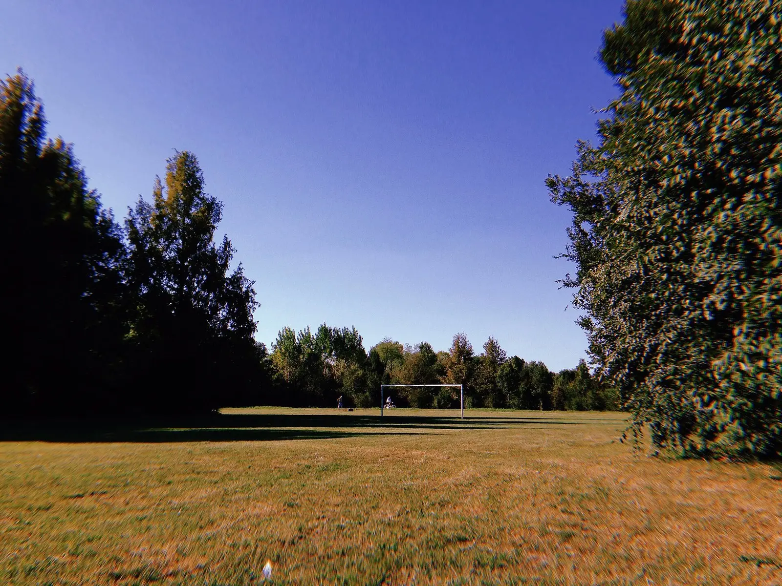
A municipal park opened in 1971 on farmland that had been an airfield in the First World War. Since 2012 it has borne the name of Aldo Aniasi, mayor of Milan from 1967 to 1976.
Green space →What is Boscoincittà?
A public wood created in 1974 on farmland, looked after by Italia Nostra with the Centro Forestazione Urbana. It is on via Novara, the same street as the crossroads, with its base at Cascina San Romano.
Green space →Where are the neighbourhood’s murals?
In piazzale Selinunte, «Il mondo di sopra» by Vesod, the first mural of the «Arte a San Siro» project. In piazzale Segesta, «Respect San Siro» by the Boa Mistura collective, since 9 February 2024. Others are on viale Murillo, in piazzale Zavattari and in Baggio.
Places and traditions →When did San Carlo hospital open?
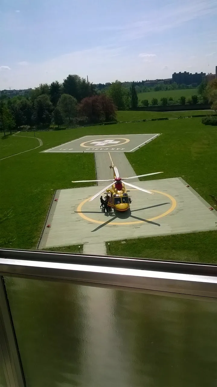
The first patient arrived on 30 June 1966; the official opening was on 14 October 1967. The hospital stands on the former Baggio parade ground, designed by Arturo Braga with Gio Ponti as general consultant. You reach it from via San Giusto, south of the crossroads.
The crossroads →What is Cascina Linterno?
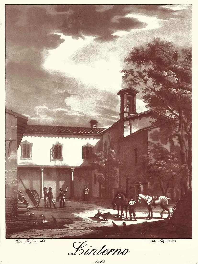
A closed Lombard courtyard farmhouse at via Fratelli Zoia 194, next to the Parco delle Cave. It is mentioned in a parchment of 1154 and was declared a national monument in March 1999. Tradition links it to Petrarch’s stay in Milan.
Places and traditions →What is the Milan War Cemetery?
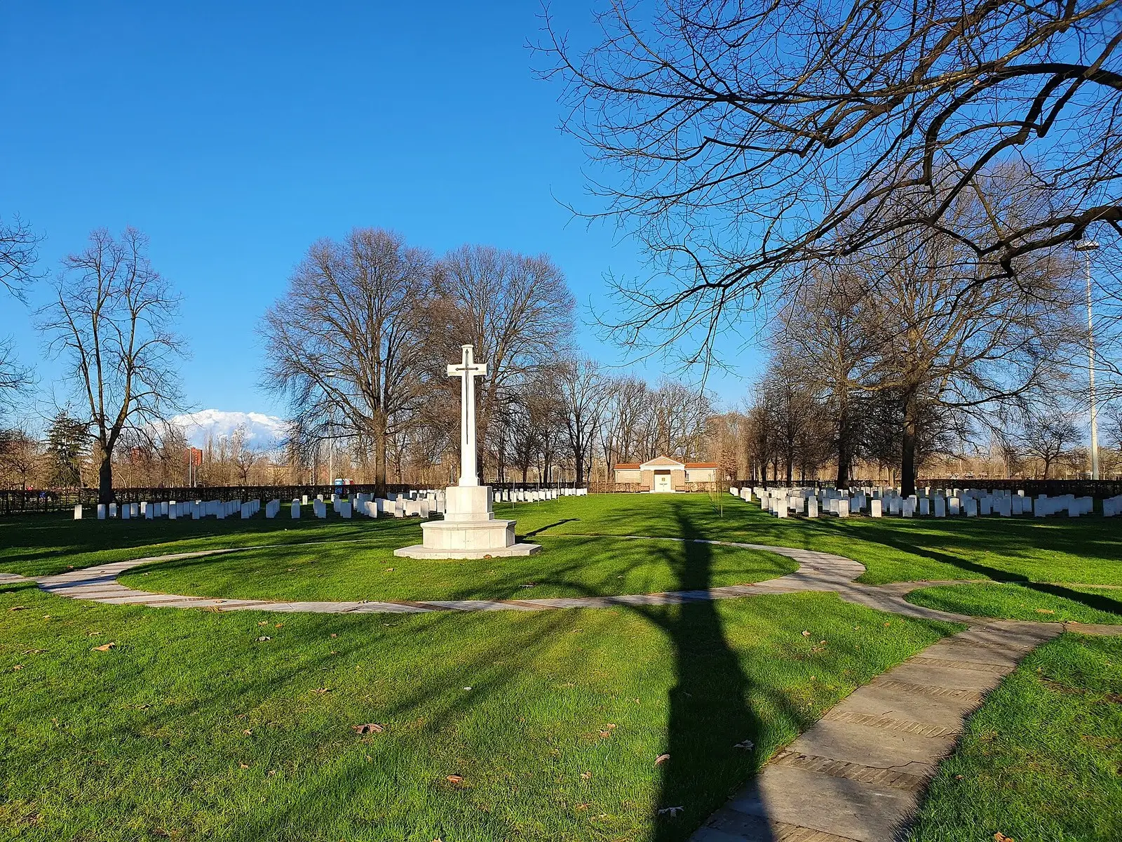
The Commonwealth war cemetery in Parco di Trenno, on via Cascina Bellaria. 417 dead of the Second World War rest there.
Green space →How big is the Parco delle Cave?
135 hectares between Baggio and Quinto Romano, with four lakes born from the gravel quarries: Aurora, Cabassi, Casati and Ongari-Cerutti.
Green space →From the crossroads to the stadium
The green west of the crossroads
The teams
The teams: 7 questions
When was San Siro stadium opened?
On 19 September 1926, with a derby: Milan–Inter 3–6. On 19 September 2026 the stadium turned one hundred.
One hundred years →San Siro or Giuseppe Meazza: what is the stadium called?
Both. With the City’s plaque of 2 March 1980 the stadium took the name of Giuseppe Meazza; for the city it remains San Siro.
Football →Since when have Milan and Inter played in the same stadium?
Milan have played there since 1926. Inter made it their home on 14 September 1947: since then the two teams have shared the venue and enter from opposite ends.
Derby →Which other teams play in the area?
Around the crossroads, in Municipio 7, Alcione play, in Serie C since 2024, and Triestina 1946, whose ground is on via Fleming.
Alcione · Triestina →Who does the «In memory» page remember?
The stadium’s two flag-bearers who died in 2026: Franco Baresi, of Milan, on 31 July, and Sandro Mazzola, of Inter, on 19 September, the day of San Siro’s hundred years.
In memory →What was the stadium like when it was born?
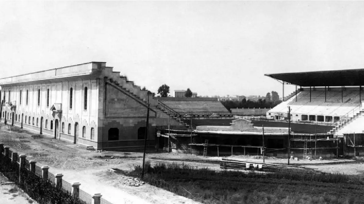
Four separate stands in the middle of the countryside, without an athletics track: an «English-style» stadium, wanted by Piero Pirelli. To the south, towards the future crossroads, there were still fields.
Football →What are the anniversaries?
A calendar of the birthdays of those who wore the Milan or Inter shirt, day by day. Each date is on two sources and minors do not appear.
Anniversaries →The area in six dates
Now
Now: 8 questions
What is happening with the new stadium?
On 30 September 2025 the City Council approved the sale of the stadium and its land to Milan and Inter; the deed was signed on 5 November 2025, for 197 million. On 16 March 2026 the two clubs’ company filed the Implementation Plan. The architectural design by Foster + Partners and Manica is not yet public.
New stadium →What are the Santa Barbara barracks and the Piazza d’Armi?
About a kilometre south of the crossroads, along via delle Forze Armate, stand the Santa Barbara barracks on piazzale Perrucchetti and, behind them, the Piazza d’Armi: over 400,000 square metres of disused military land, with a plan for the park and the homes.
Santa Barbara →Which racecourses are there?
The flat-racing course, opened in 1920, today Ippodromo Snai San Siro; the trotting track, opened on 15 November 1925; and La Maura. They lie between 1.1 and 1.6 kilometres north-east of the crossroads and came before the stadium.
Places and traditions →Where can you find matches, concerts and news of the area?
In the calendar, with Milan and Inter matches, concerts at the stadium and the racecourses and the archive of past events, and in the press review. They are updated every day.
Calendar →Is the stadium’s second tier protected?
In August 2023 the Milan Superintendency recognised its simple cultural interest. The Ministry of Culture gives 10 November 1955, the day the second tier was tested, as the reference date.
New stadium →What are the 27 plaques of the West stand?
The plaques of the international trophies on the ramps between entrances 226 and 228: 18 for Milan and 9 for Inter, from the 1963 European Cup to the 2010 Club World Cup. With them is the plaque of 2 March 1980 that gives the stadium the name of Giuseppe Meazza.
New stadium →Who designed the racecourse?
Paolo Vietti-Violi, who in 1913 designed the new racecourse to replace the Trotter on via Padova. The flat-racing course, with its Liberty-style stands, is the only racing venue declared a monument of national interest.
Places and traditions →When did the La Maura racecourse open?
On 9 May 2015, on the former training track at via Achille 8. Today it also hosts big concerts, which appear in the calendar.
Calendar →The new stadium, the acts completed
The archive
The archive: 3 questions
Where can you see historical photographs of the area?
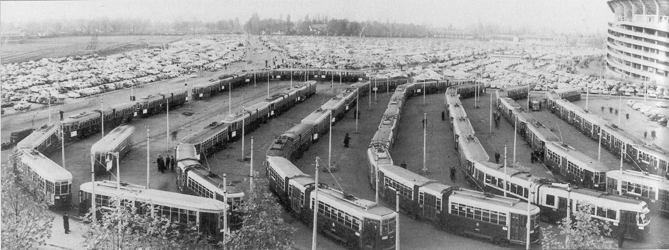
In the catalogue of period photographs: the stadium under construction, the farmhouses, the tram, Harar and QT8 being built, the sports hall. Each photograph has its record, with place and year.
The photographs →How do you find a street in the area?
On the streets page, on the satellite image: for each one the name, where it comes from and where it lies relative to the crossroads. The glossary explains the place names.
The streets →Since when has the M5 reached the stadium?
Since 29 April 2015 the terminus of the lilac M5 has been in piazzale Axum, at the San Siro Stadio stop, where tram 16 also arrives.
The photographs →How we work
The work: 1 question
How do you send a memory or a photograph of the area?
With a message to the «San Siro e dintorni» Facebook page. A memory is published word for word, with the consent of the person telling it and their name only if they authorise it.
The community →Sources for this page
- San Siro e dintorni · this site Each answer repeats the facts of the linked page beside it, where the sources of each fact are.
- Esri World Imagery Satellite image of the crossroads at the top of the page: Esri, Maxar, Earthstar Geographics and the GIS user community.
- Photo catalogue · this site The photographs on the page, each with its record: author, provenance and licence under the image.
- YouTube The videos, loaded only on click, with title and channel beside each.
What this page rests on
Every fact is checked against at least two independent sources and, where one exists, the official source. The press review and the calendar are updated every day. The criterion is in Method.